
Our ocean cannot be well managed without including fishers in the action dialogue. Working with fishers, through participatory science, is possibly the most important action that needs to be accomplished for ocean health this year.
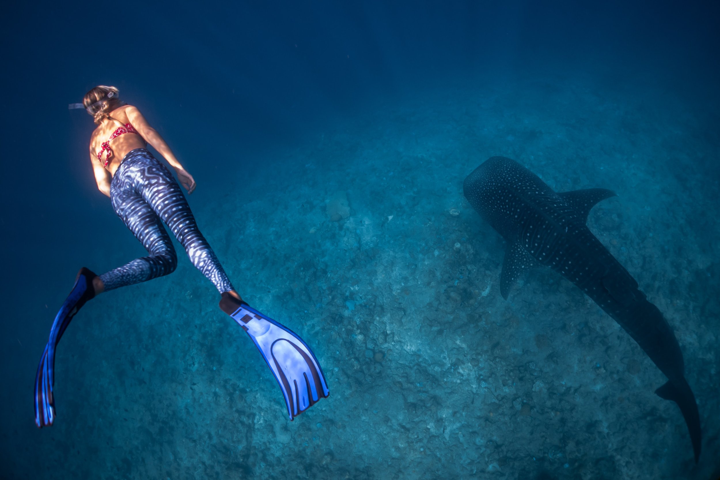
Fish populations are highly dynamic. Successful management of fisheries requires a lot of data, monitoring, and life history information, including data on catch and bycatch numbers. Photo: eOceans (2022)
We can’t tell you how many fishers have told us that “fisheries scientists and managers don’t know what they’re doing’’. They exclaim we are “closing the fishery in the wrong place at the wrong time” and they believe that scientists have significant data gaps, or that they cherry pick the data, analysis, and results to match their own hypotheses.
We’ve repeatedly seen how these top-down decisions regarding fisheries management, marine spatial planning, and marine protected areas tear communities apart.
Here, we make the case that working with fishers is possibly the most important barrier to overcome for ocean health this year and that this can be facilitated through participatory science. We also introduce the new eOceans® Smart Fishery Tracker™, which offers real-time catch and bycatch assessments for the first time. This is necessary for keeping pace with rapid ocean change.
By the end, you should see the value of deploying the Smart Fishery Tracker™ in your community — to track fisheries and other ocean dimensions, in real-time.
“Let’s Dive In”
Everyone reading this likely has an appreciation of how spectacular the ocean is and how spectacularly important it is — including for fishers and fisheries.
But, the ocean is significantly depleted due to misuse, miscommunication, and delayed action — often from decisions that are made far away. As a result, biodiversity, habitats, mammals, fish, coral, seagrass, and many other dimensions are now a fraction of their original condition. These changes have altered what lives in the ocean, their abundance, and condition. Climate change is further amplifying these impacts, and wreaking havoc on the ecosystems that so many people depend on.
Marine science, policy, management, and actions — with manual methods of handwriting down our observations, entering the data into spreadsheets, and analyzing for one question at a time — cannot possibly keep pace with ocean change or the rapidly growing blue economy.
eOceans was designed for real-time data sharing, mapping, analysis, and dissemination. It can be used by scientists and all other ocean stakeholders & rightsholders, including fishers.
Including fishers is essential for ocean management
We believe that including fishers in the ocean action dialogue should be seen as an integral part of ocean health.

Fishers are important ocean stakeholders that are continuously accumulating local community and ocean knowledge. Breaking divides between fishers, scientists, managers, and decision makers is an essential barrier to overcome for ocean health this year. Photo: Anastasia Palagutina, Unsplash.
Fishers are one of the oceans most important stakeholders. They are out there everyday, everywhere, covering the ocean with high effort and experience, while continuously accumulating local community and ocean knowledge. They cover spatial and temporal scales that scientists, and most other ocean explorers can’t match. They are also the ones that see and touch more of the ocean than most others. And, they depend on a bountiful ocean — where their livelihoods and experiences not only depend on an abundance of fish that are relatively easy to catch, but they also feed a lot of people, including supplying markets, restaurants, stores, and personal refrigerators.
Unfortunately, the relationships between fishers, scientists, & managers have been severely strained. This needs to change. Working with fishers is essential.
Participatory Science is Invaluable
This leads us to the value of Participatory Science (aka., citizen science, community science) for building scientific knowledge and informing management and policy.
Ocean explorers — divers, fishers, boaters, surfers, sailors — care about their ocean. They also see a lot. Each of their observations and perspectives can be combined to better understand the ocean to make smarter decisions and more equitable policies. Photo: Sebastian Pena Lambarri
Here, we provide three examples where local data and knowledge informed policy:
In the first, catch, bycatch, and effort data were compiled from commercial fishers and used to evaluate time-area closures — a type of Marine Protected Area — that were designed to protect Atlantic cod and yellowtail flounder while they are spawning. We found that, after 15 years of implementation, this protection strategy was not helping. Something else would be needed to help cod and yellowtail populations recover.
The second example comes from tourism. The community in Fiji was concerned that sharks were disappearing. By collecting over 146,000 shark observations from 30,000 dives on 592 sites, we not only described shark and tourism baselines — who goes where and when — but we also found that the most common species, the whitetip reef shark, did decline significantly on all eastern sites but increased on all western sites. They couldn’t have known this if we had not compiled and analyzed their data. But, we still don’t understand the drivers of these changes.
In the third example, we collected observations of manta rays from local experts in 90 regions of the world — including where they see mantas in the wild, where they see them being fished, and where they see them being sold in the markets. We found that although only two countries reported catching manta rays, that they were being caught and sold in markets around the world. Illegal, unreported, and unregulated fishing with international trade was threatening populations and the tourism communities that depend on them. This discrepancy in reporting combined with threats was used to support their listing on CITES Appendix II.
All this is to say that participatory science can be extremely valuable if it’s done right. Building trusting relationships with transparent data collection methods and analysis is essential for that to happen.
The Smart Fishery Tracker™ — real-time catch tracking
That brings us to the new eOceans tool — the Smart Fishery Tracker™—which offers fishers, scientists, managers, observers, fisheries associations, and fishing societies the possibility of real-time catch and bycatch assessments. These assessments also fit into other ocean tracking priorities through the eOceans platform, like Marine Protected Areas, Blue Economy, Environmental issues, Species at Risk, Invasive species, and more.
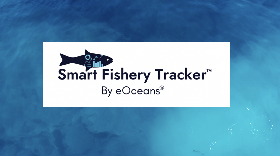
NEW eOceans® tool — the Smart Fishery Tracker™– analyzes fisheries catch and bycatch data as they are entered in the eOceans mobile app. Assessments can take place at both the population and/or spatial scales so that fisheries can be more explicitly and transparently managed. Photo: eOceans
With the Smart Fishery Tracker™, fishers and scientists use the eOceans mobile app to log their data, including effort, catch, bycatch, and the human dimensions (e.g., threats and values). Catch can include species, number, and their condition, such as size, maturity, diseases, etc.
Then, their data automatically go to the teams or projects they have joined. For example, if there are 3,000 projects that overlap your area — say Florida — and you’ve only joined 3, then your observations only go to those 3 projects based on your location.
Then, the data are quality checked and analyzed, with expert analysis, in real-time.
The results, and much more can be found on your mobile app or eOceans dashboard. Each project has different tabs of information associated with it, including contributors, observations, management, metrics, etc. In the results tab, that’s where you’ll see your catch and bycatch assessment results streamed in real-time.
With the Smart Fishery Tracker™ you know how your stocks are doing today, not how they were doing years ago (the current standard).
Then, after reviewing the results, contributors can help the team interpret the results and comment on the trends in the eOceans Community Channel for truly collaborative and transparent science.
With eOceans, projects can:
✅ Take place anywhere in the world’s ocean or connected ecosystems — the team owner defines the study area boundaries.
✅ Include the observations made during any desired activity — hook and line fishing, spearfishing, diving, etc. It can be “all activities” or a subset.
✅ Focus on any of over 200,000 species, including presence/absence, species richness, relative abundance, condition/behaviour, size, diseases, health
✅ Include any human dimension, including threats (e.g., ghost gear, pollution, plastics) and values (e.g., social, economic, cultural)
✅ Include most environmental predictor variables (e.g., temperature, DO, pH, microplastics)
✅ Include any amount of effort — but the usually the more the better of course!
Because fish don’t act on their own — but rather interact with temperature, predators, prey, and human pressures — we can also facilitate most multi-variate, interactive models.
To facilitate collaboration, transparency, and trust eOceans users:
✅ Own their data
✅ Decide how their data can be used
✅ Have input on the interpretation of the results
✅ Facilitate knowledge distribution and are
✅ Empowered to be an integral part of the action dialogue
Because the analyses are setup at the beginning of the project, and the data are automatically quality checked and streamed into the project and analyzed in real-time, there is no chance of cherry picking — or perceived cherry picking — to produce results.
And, that’s just the tip of the iceberg! eOceans has many more valuable tools and features that support ethical data sharing and real-time analysis.
That brings us to you, and the role you can play in getting the Smart Fishery Tracker™ deployed in your area to help fisheries get smartly managed. Let the organizations that make decisions in your area know about the Smart Fishery Tracker™ and demand that collaborative, transparent, real-time science is being done to make informed decisions in collaboration with fishers.
In the meantime, you can start generating your personal baseline of your ocean by logging your observations in the eOceans mobile app. And, follow others while you’re there — so we can all learn from each other about what’s happening in the ocean around the world. All observations are connected.
If you’re on your mobile device, you can get started by downloading the eOceans app on iOS or Android, on your desktop you can join at eOceans.app, or learn about our case studies at eOceans.org. You can follow us through the regular social media sites (FB, IG, LI) and keep learning about eOceans tools and science by watching our YouTube channel.
For the ocean. For us.
**This essay was delivered at the 75th Gulf and Caribbean Fisheries Institute (GCFI) in November 2022 and the presentation can be found on YouTube.